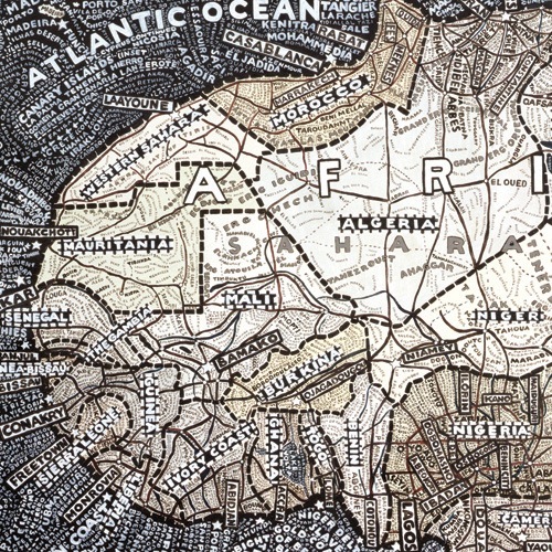
MAPAS.
Monday, February 23rd, 2009MAPAS
[ presentación en clase ]

LINKS RELACIONADOS
MAPAS TURÍSTICOS DE CUIDADES
Red Maps:
“Red Maps are elegant, stylized guides for sophisticated, design-oriented travelers.”
Non For Tourists Guide:
Mapas para residentes de algún lugar en particular.
London AZ:
Libro de bolsillo que sectoriza Londres en cuadrantes.
Curating the city:
Explorar el Wilshire boulevard de Los Angeles.
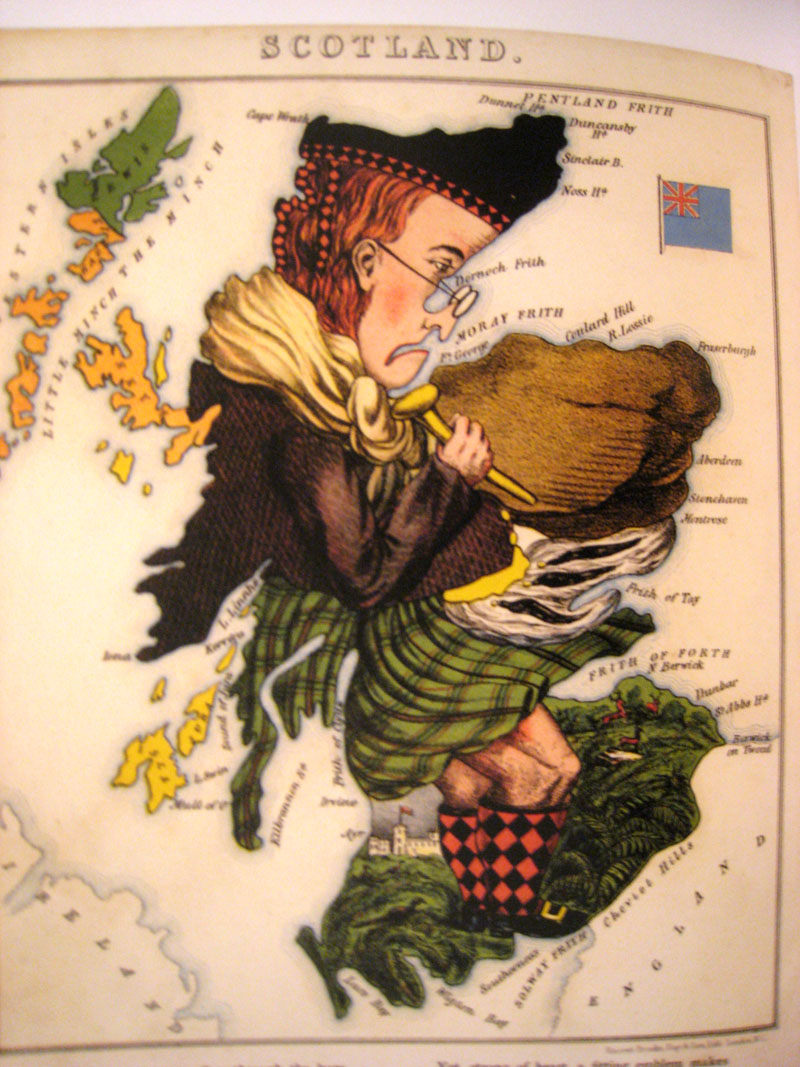
MAPAS DEL LIBRO “You Are Here”
DE OTROS MAPAS
Time Travel Tube Map:
Rediseño del mapa de Londres por un estudiante de Central Saint Martins en Londres
“How could I come up with some innovative ideas to this piece of design that is by many considered as one of the best in graphic design ever?”
Mapas de la memoria
Proyecto desarrollado por Local Proyects
Mapa literario de NY
Mapa que relaciona lugares en Nueva York con apartes de obras de literatura
Folksongs for the Five Points
Mapa sonoro del Lower East Side en Nueva York
Soundseeker
Mapa sonono dinamico creado por Andrea Polli
Organized Crime: The World’s Largest Social Network
Mapa de organizaciones criminales en el mundo
Googlemapsmania
An unofficial Google Maps blog tracking the websites, mashups and tools being influenced by Google Maps
VIDEOS
MIND THE GAPS
[youtube]http://www.youtube.com/watch?v=TyZgdxuI6Ag[/youtube]
“Mind the gaps is an intervention in the subway map that comments on the international nature of New York city and its relationship to other cities. Most of the transportation systems in cities around the world share the same graphics and color code for identifying routes and stations. The intervention consists of “filling gaps” in the subway map routes of New York city by adding new stations from Paris, London and Mexico city.
[youtube]http://www.youtube.com/watch?v=vXaExwPekgc[/youtube]
[youtube]http://www.youtube.com/watch?v=xQjvqG3Tp34[/youtube]
“Paula Scher plunged into the New York design world in the early 1970s, a moment when progressive art directors, illustrators, and graphic designers, as well as architects and product designers…”
Will iPhone apps change the future of city wayfinding?
Un post del blog designworkplan que habla acerca de la ubicación en la ciudad utilizando el iphone como plataforma para la creación de diferentes aplicaciones.
