MAPAS
Presentación Mapas
[ presentación en clase ]
*Diseño por STUDIOLABO
—
LINKS RELACIONADOS
MAPAS SONOROS
Referentes de City sound map (Silvia Guilianini), Summer Streets Smellmapping Astor Place, NYC (Sensory Maps), Smells of Auld Reekie (Kate McLean), Smells of Glasgow 2012 (Kate McLean), Smelliest Block in New York (Kate McLean), Olfactory Map of Sterling Road (Diane Borsato & JP King) y Summer Aromas of Newport RI (Kate McLean).
—
How 2020 Remapped Your Worlds (CITY LAB)
Proyecto experimental de Mapas durante la Pandemia, desarrollado pro Bloomberg.
Map-hsinchu
Colección de Mapas de diversas naturalezas
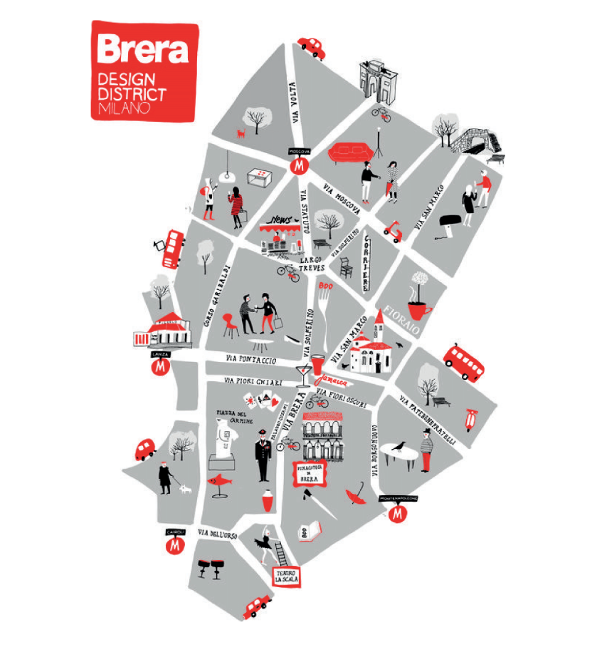
MAPAS TURÍSTICOS DE CIUDADES
Red Maps:
“Red Maps are elegant, stylized guides for sophisticated, design-oriented travelers.”
Non For Tourists Guide:
Mapas para residentes de algún lugar en particular.
London AZ:
Libro de bolsillo que sectoriza Londres en cuadrantes.
—
MAPAS DEL LIBRO “You Are Here”


DE OTROS MAPAS
Time Travel Tube Map:
Rediseño del mapa de Londres por un estudiante de Central Saint Martins en Londres
“How could I come up with some innovative ideas to this piece of design that is by many considered as one of the best in graphic design ever?”
Mapas de la memoria
Proyecto desarrollado por Local Projects
Mapa literario de NY
Mapa que relaciona lugares en Nueva York con apartes de obras de literatura
Organized Crime: The World’s Largest Social Network
Mapa de organizaciones criminales en el mundo
Mapas tipográficos
The maps use typography as the sole visual clue. So everything from streets and highways to parks and waterways are labeled with text. The bigger the thoroughfare or the landmark, the bigger the words. So far they have maps of Chicago and Boston; New York, SF, and DC are coming up.
Googlemapsmania
An unofficial Google Maps blog tracking the websites, mashups and tools being influenced by Google Map.
Francis Allys – The Green Line 2004
Using green paint, Alÿs walked along the armistice border, known as ‘the green line’, pencilled on a map by Moshe Dayan at the end of the war between Israel and Jordan in 1948. This remained the border until the Six Day War in 1967 after which Israel occupied Palestinian-inhabited territories east of the line.
P313 #2
Proyecto de Cartografía lúdica
Jan Rothuizen
Diseñador Holandés que diseña mapas experienciales alredeor de diferentes lugares.
Obra de Samuel Granados
Cartograma sobre inmigración en América en 3D de las de verdad
Razón Cartográfica
Red de Historia de las Geografías y Cartografías de Colombia
VIDEOS
MIND THE GAPS
“Mind the gaps is an intervention in the subway map that comments on the international nature of New York city and its relationship to other cities. Most of the transportation systems in cities around the world share the same graphics and color code for identifying routes and stations. The intervention consists of “filling gaps” in the subway map routes of New York city by adding new stations from Paris, London and Mexico city.
MAPAS DE PAULA SHER
“Paula Scher plunged into the New York design world in the early 1970s, a moment when progressive art directors, illustrators, and graphic designers, as well as architects and product designers…”
